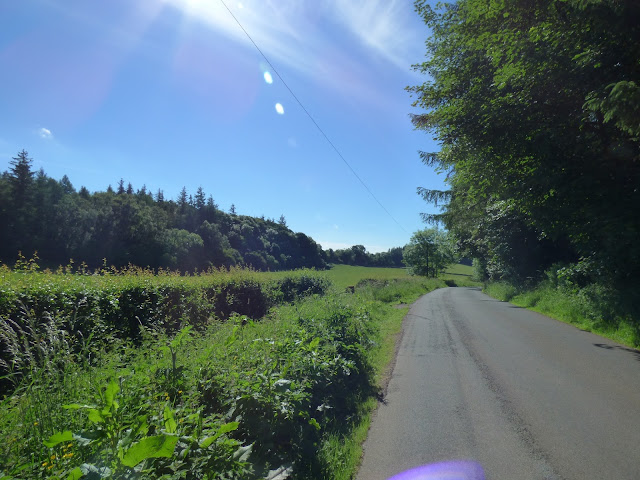
It's been a while since we did a decent length fell walk. We put that right today and if any walk has ever summed up what it's all about in our eyes, then this, my friends is it!
Jay joined us as we set off from Dobgill Car park by Thirlmere. The only car there on a beautiful summers morning
 |
| We cross Dob Gill as we leave the car park |
 |
| and then head up the side of the gill. Do you think Breeze is pleased to be here? |
 |
| This is a lovely climb. Thirlmere puts in an appearance behind as we head up alongside the forest |
 |
| Passing the steadily silting Harrup Tarn. |
A short while after taking this photo, we bumped into what would turn out to be the only people we saw today. A couple who were aiming for Watendlath. They had walked approximately half a mile from their car we assume (although we don't actually know where they were parked) and must have been a good half mile away from the path they should have been on.
"we're trying to find the path to Watendlath, I did it many years ago and I'm not quite sure if we're on the right path"Errrr. No, you're not. We showed him our map - No. They didn't have one - and told them where they should be in relation to where they were. Throughout this exchange, wifey was sitting on a rock some 500 m away. No doubt there was a domestic going on as they wandered around with no idea where they were or where they were going. BLOODY IDIOTS
Anyway, where were we...
 |
| Further up the gill, we look back to see Blencathra illuminated in the distance |
 |
| Helvellyn behind us as we pass the impressive washfold |
 |
| Mornin'. Nice day for it! |
 |
| We made our way over to Black Knott where we sat and had lunch and a brief rest! |
 |
| Then on to the top of Ullscarf. |
Ok, time for second rant of the day!! When some friend asked where we had walked today and we said Ullscarf, they replied with disdain that it was very uninspiring and that is why there were no folk about. HELLO. The summit is the highest point of any fell. That's it, full stop, end of significance. For us it is not about summits. It's not about miles. It's about being outside, in beautiful surroundings, enjoying what is around us and finding interesting routes which may, sometimes include the highest point on a fell. Quite often we don't actually bother with the summit. After all, that's the one place you really are likely to bump into other people. If anyone follows the route we took both up and down and then tells me Ullscarf is uninspiring then I will be gobsmacked. But hey ho, we're all different. The more people that stick to the well published, well troden, often crowded routes to tick off summits, the better our routes will be!
 |
| The view from an uninspiring (!) fell |
 |
| Crap isn't it |
 |
| Absolutely awful |
 |
| In fact, what are we doing up here? |
 |
| Let's head down off this Godforsaken wilderness ;-) That's Grasmere and Windermemre ahead |
 |
| And that's a female Wheatear |
 |
| And that's a beautiful Spaniel |
 |
| We begin to lose height as we head down Flour Gill, towards Middle How which you can just make out as a small hummock in the shadows at the middle of this pic, just where the sunshine is about to start! |
 |
| Hello Ewe |
 |
| Heading for Wythburn Head |
 |
| And then we follow Wyth Burn. This is such a beautiful valley. There must be about half a mile of continuous waterfall. It was impressive today when we are in a very dry period |
 |
| We must come back and visit when we have had a real downpour |
 |
| At the end of the falls - Bridge over troubled water - we are going to cross the burn here and follow it on the other side back to Thirlmere |
 |
| Top Dog. Crossing Hay Meadows as we near Thirlmere |
 |
| Chance to have a cool down |
 |
| and then it's just a gentle stroll along the shore back to the car |
We walked about 9.5 miles today, it was shorts (for me) and t shirt weather all day and it really was a beautiful and interesting route, whatever anyone else might think!


